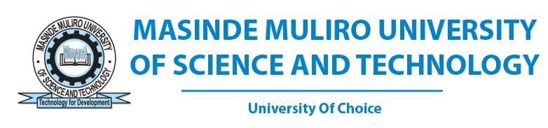


The Deputy Vice-Chancellor (Academic and Student Affairs), Prof. Hussein Golicha (seated far right), beside him, the Ambassador- (ESRI) Eastern Africa, Dr. Nashon Adero, and staff from MMUST.
Masinde Muliro University of Science and Technology (MMUST) has championed the implementation of a Geographic Information System (GIS) in disaster management for national development. This was evident on 26th April,2023, when the Ambassador, of Environmental Systems Research Institute Eastern Africa (ESRI) Eastern Africa, Dr. Nashon Adero, paid a courtesy call to the Deputy Vice-Chancellor (Academic and Student Affairs), Prof. Hussein Golicha. The visit was aimed at creating an instrument for initiating various collaborative activities for the mutual benefit of the two institutions in training, research, and innovation. The collaboration is steered by the Dean, of the School of Disaster Management and Humanitarian Assistance (SDMHA), Dr. Ferdinand Nabiswa.
Speaking during the visit, Prof. Golicha who was representing the Vice-Chancellor pointed out that GIS is an important technology that will impact many projects in the University. He assured that the University Management is keen to support the GIS initiative. “GIS nurtures spatial thinking skills and is a key technology to help students develop analytical and problem-solving skills. It provides students with tools to develop a better understanding of the world” he said.
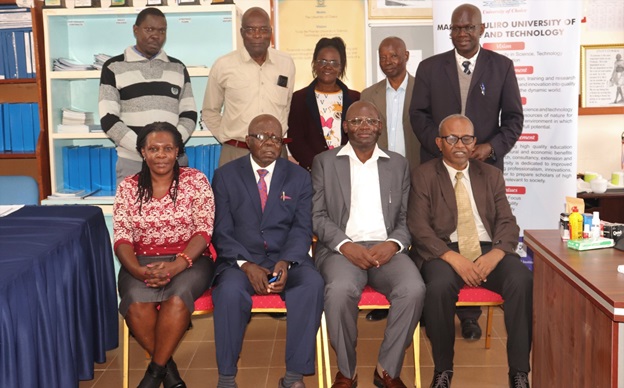
The Deputy Vice-Chancellor (Academic and Student Affairs), Prof. Hussein Golicha and Ambassador- (ESRI) Eastern Africa, Dr. Nashon Adero shaking hands.
Reiterating Prof. Golicha’s sentiments, the Director, Postgraduate Studies- Prof. Stephen Odebero, (Representing the Deputy Vice-Chancellor, Planning, Research, and Innovation) acknowledged that with such collaborations, we look forward to becoming experts in geospatial technology. He urged disaster management experts to tap into this technology to leverage traditional-based technologies.
According to Dr. Adero, this collaboration will strengthen the efforts of MMUST and ESRI to stimulate collaborative consultancies, strengthen training, and support development initiatives. He added that this will instigate projects in the application of GIS to relevant research topics.
“GIS knowledge should be promoted through academic education in developing countries. This helps in sharing, networking, and promoting GIS uptake in predicting and averting disasters. We shall allow the University to use the ESRI ArcGIS software, remote sensing software, and mapping GP units for comprehensive and effective instructional and research purposes,” stated Dr. Adero. He emphasized the requirement to carry out a needs assessment and submit a report.
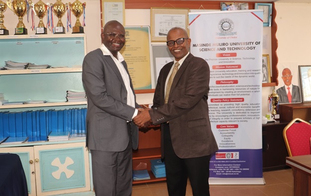
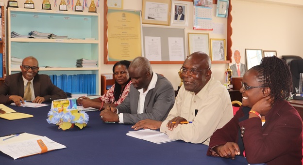
The Dean, School of Disaster Management and Humanitarian Assistance (SDMHA), Dr. Ferdinand Nabiswa (speaking), beside him- Prof. Silvery Oteng’i, and DVC/ASA- Prof. Hussein Golicha.
Expressing his delight, Dr. Nabiswa noted that this is the first step to the implementation of the MOU and hinted that MMUST is committed to becoming the best in GIS technology. He appreciated the University Management for approving their request to equip the GIS lab adding that this will upgrade the technological prowess of students.
“We are conducting a needs assessment to identify the gaps for equipping the MMUST GIS lab. ESRI will provide the University with free software for three (3) years. I urge the University Management to implement the comprehensive report that the Ambassador is set to deliver after the needs assessment,” said Dr. Nabiswa.
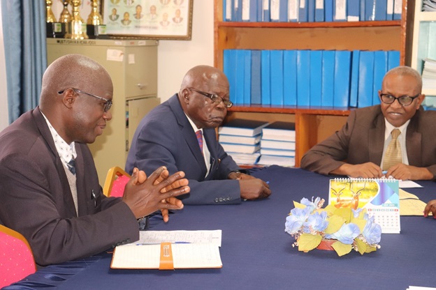
A section of the participants during the courtesy call.
Notably, other staff from SDHMA who were present included; Prof. Silvery Oteng’i, Dr. Veronica Kiluva, Dr. Edward Mugalavai, Dr. Saidi Fwamba, and Ms. Betty Opillo. The Coordinator, Webometrics and Short Courses- Dr. Dennis Ochieno was also in attendance.
Certainly, the entrenchment of GIS and remote sensing in the curriculum will equip our students with skills to generate development models for more accurate monitoring and decision-making. It is an important technology detecting environmental and structural changes in various sites, to create safe and sustainable projections.
By Linet Owuor and Verna Awuor
Photos by Mary Wangari Wambugu